
How drone technology is strengthening habitat delivery
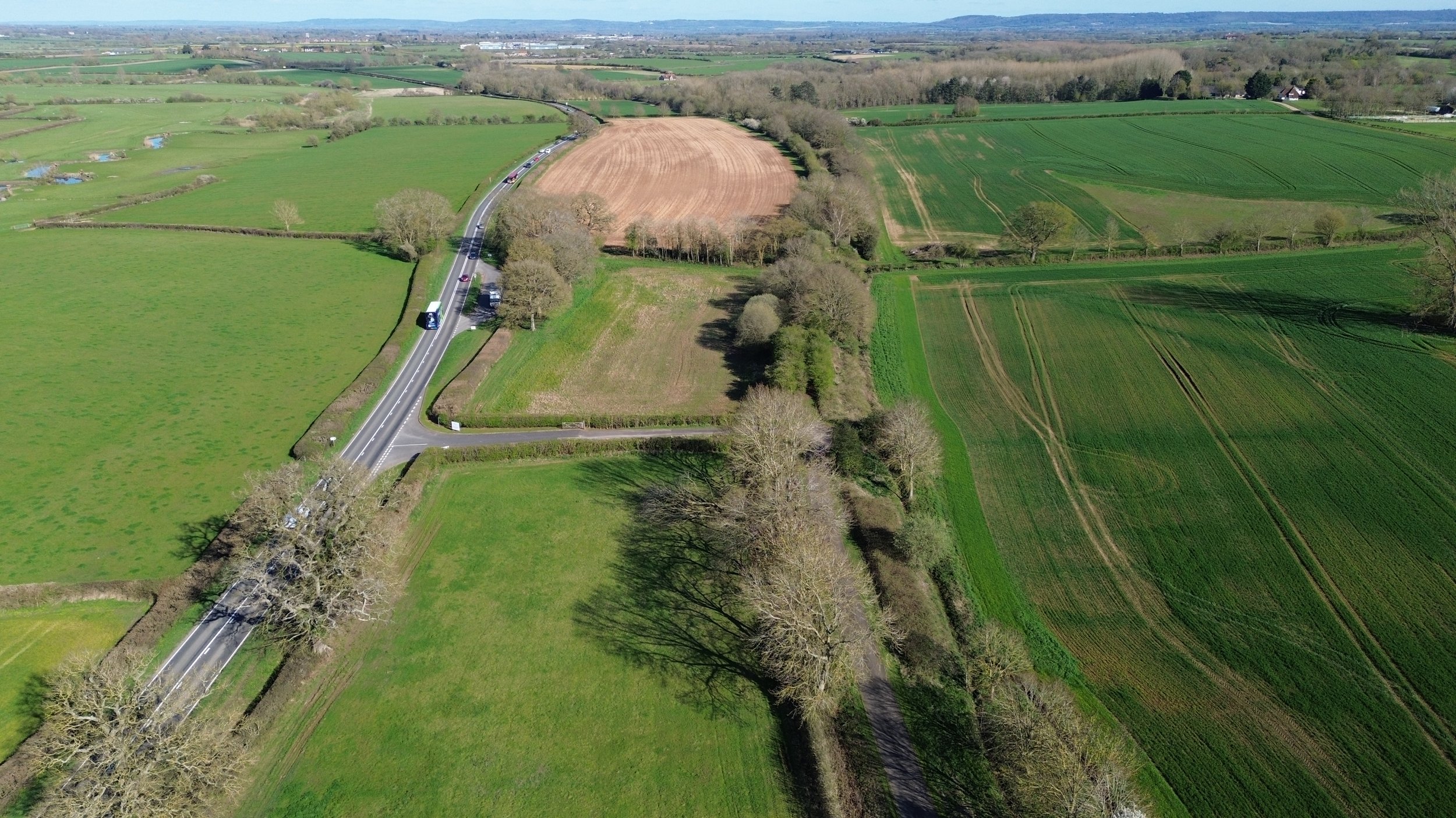
Aerial drone image of Rycote Farm in South Oxfordshire, where Biofarm is using drone surveying technology to strengthen habitat bank monitoring and BNG delivery.
Drones: sharper insight, stronger delivery.
Our ecology team visited Rycote Farm in South Oxfordshire and put our new drone surveying technology to work.
From the ground, you understand a site one field at a time. From the air, you see how everything connects. The course of the river, drainage patterns, habitat corridors, ridge and furrow, and the wider shape of the landscape.
That is exactly why we have invested in drone technology for ecological surveying and habitat monitoring.
What it means for landowners
Better visibility leads to better decisions.
Drone surveying helps us assess habitat potential, understand site constraints and plan long-term management with greater accuracy. For landowners, that means clearer insight into what their land can deliver and stronger evidence of environmental progress over time.
What it means for developers
Confidence matters when delivering off-site Biodiversity Net Gain (BNG).
This technology strengthens how we monitor habitat creation and track ecological change over time, helping provide clear evidence that schemes are being delivered properly and performing as intended.
What it means for nature
Some changes are gradual and easy to miss at ground level.
Drone imagery helps us monitor habitats such as scrub and floodplain meadow as they establish and supports informed ecological management as sites evolve. It can also assist River Condition Assessments where site access is difficult.
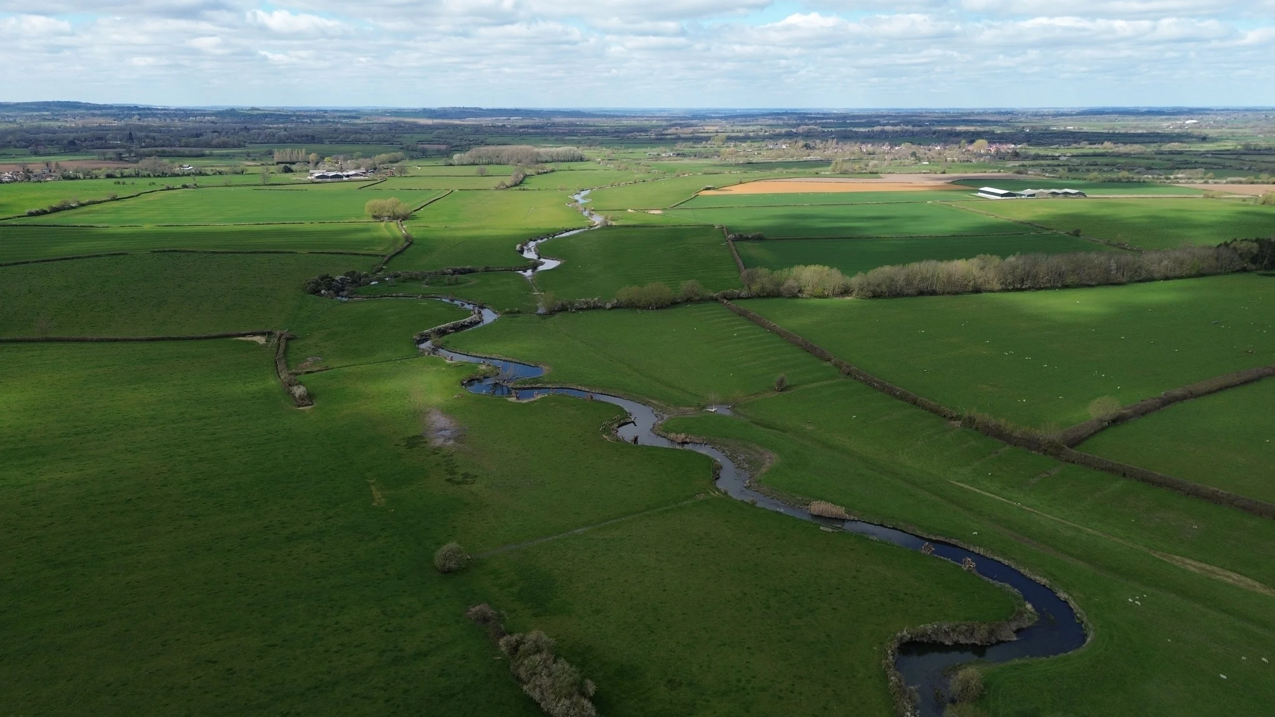
Aerial drone shot of the River Thame at Biofarm’s habitat bank, Rycote Farm.
A practical investment
We are not interested in technology for technology’s sake.
We invest where it helps people, improves outcomes and gives nature the best chance to thrive.
At Rycote Farm (BGS-150725001) in South Oxfordshire, it is already helping us see the bigger picture.